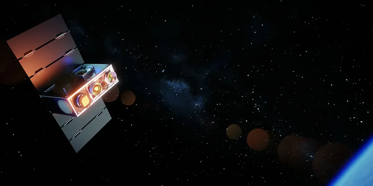
FireSat and AI-powered satellites bring near real-time wildfire detection
Published by AINave Editorial • Reviewed by Ramit
AI-powered satellite constellations from OroraTech and the Earth Fire Alliance are now detecting wildfires in near real-time, with alerts reaching first responders within minutes rather than hours. For AI builders, the key technical takeaway is that onboard inference on Nvidia Jetson Xavier NX hardware, combined with transparent confidence scoring, is making space-based detection operationally useful for the first time.
Two satellite networks now using AI to spot wildfires faster
OroraTech currently operates eight wildfire-detection satellites in orbit with another eight in commissioning, forming the OTC-P1 constellation. On July 20, one of its satellites made the first detection of the Rock Fire near Aberdeen, California. The fire grew to over 12,000 acres under hot, windy conditions before containment. The detection came from an area not visible to ground fire cameras, underscoring the value of orbital coverage.
The Earth Fire Alliance (EFA) is pursuing a larger constellation called FireSat. Three satellites launched by SpaceX in July carry multi-band infrared sensors that can detect fires as small as about 25 square meters, roughly the size of a shipping container. EFA ultimately aims to deploy more than 50 low Earth orbit satellites by the 2030s, imaging any point on Earth every 20 minutes at 80 meters per pixel resolution, a significant improvement over legacy systems like NASA's Visible Infrared Imaging Radiometer Suite (500m/pixel).
Onboard AI inference reduces latency, but trust is the real challenge
OroraTech runs fire detection models on Nvidia Jetson Xavier NX GPU modules installed in each satellite. The models were trained with supervised learning, initially prioritizing precision (avoid false positives) before iterating to catch smaller fires. Processing onboard means the satellite can download essential detection details to ground stations ahead of full image downlinks, cutting the time to actionable alerts.
"It's important for us to be as fast as possible -- we're talking about minutes," said Dima Rashkovetsky, OroraTech's team lead for data engineering. "We know from talking to multiple customers that information after an hour is borderline useless for first responders." Citation: IEEE Spectrum
AI also makes it easier to incorporate contextual information like weather and site history to reduce false positives. But all detections come with uncertainty. OroraTech manages this by assigning a confidence score to each detection, based on model confidence, fire-weather indices, vegetation data, and persistence. Different agencies have different tolerances: some would rather deal with false positives than miss a fire, while others lack resources to chase every alarm.
Rashkovetsky emphasized transparency: "Trust is a major issue in everything remote sensing related, but specifically also with AI. People are rightfully not willing to make a decision based on just a black box." Citation: IEEE Spectrum
How detection data reaches first responders
EFA's first three FireSat satellites broadcast images to dedicated ground stations, which upload them to the cloud for processing. The end-to-end delivery takes about 20 minutes, according to EFA lead scientist Michael Falkowski. Future satellites will be able to transmit via Starlink, cutting delivery times further.
EFA is working with early adopters to refine data products and plans to make them more widely available to fire agencies and researchers next year. Because EFA wants to distribute FireSat data broadly, images can be used with both classical detection algorithms and AI models developed in partnership with Google Research. The AI approach compares operational FireSat data with historical images of the same location to detect small fires while minimizing false positives.
Caveats: uncertainty, false positives, and deployment constraints
All satellite-based detection systems can be deceived by sun glints, industrial emissions, or smoldering fires that are hard to distinguish from non-fire signals. The confidence scoring approach helps but doesn't eliminate uncertainty. Agencies must calibrate their response thresholds based on local risk tolerance.
Starlink data transmission is planned but not yet operational. Reliance on satellite communication links could introduce additional latency or deployment constraints. And while infrared sensors can detect fires through smoke and at night, distinguishing a new ignition from existing heat sources remains challenging.
For builders working on wildfire detection or edge AI applications, the core lesson is that onboard inference plus transparent confidence scoring can make satellite data operationally useful. But the technology will only earn trust if users understand how scores are derived and can filter alerts based on their own cost of false alarms.
FAQs
Sources
- Satellites and AI Team Up for Faster Wildfire Detection
- AI eyes in the sky: new satellites and artificial intelligence are transforming wildfire detection | Firefighters | The Guardian
- FireSat - Wildfires
- New satellites and AI are transforming wildfire detection | PreventionWeb
- AI-Powered Satellites Join the Fight Against Wildfires - Tech Briefs
- Greece is leading the world in wildfire detection thanks to EU-funded satellites and AI
- How new satellites and AI are detecting wildfires early
- How AI can help spot wildfires | MIT Technology Review
- How satellites and AI help fight wildfires today
- How AI and satellites help fight wildfires
- AI, satellites to help with wildfire detection
- FireSat satellites promise faster wildfire detection for California firefighters
- New FireSat satellites promise faster wildfire detection over California and beyond
- California introduces AI, drones, and satellites to fight wildfires
- Google Funds AI-Assisted Satellites for Faster Wildfire Detection...