What is Mapillary?
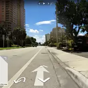
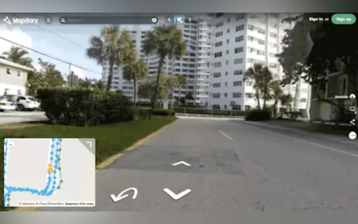
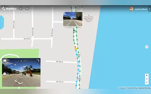
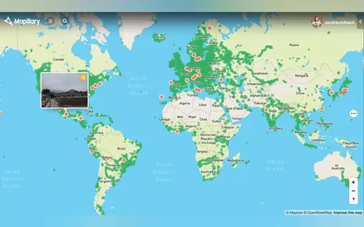
Mapillary empowers users to capture street-level photos easily. Using smartphones or action cameras, anyone can contribute. The platform merges these images for a detailed view of locations. Ideal for urban planning, infrastructure, or virtual exploration, Mapillary is user-friendly and powerful. Join a community dedicated to sharing perspectives on our streets and enhancing geographic insights.
Top Features
- Crowdsource street-level photos effortlessly.
- Use smartphones or action cameras for capturing.
- Advanced merging technique for seamless imagery.
- Explore locations through detailed photo views.
- Ideal for urban planning and infrastructure.
- User-friendly interface for all skill levels.
