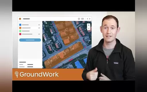
What is GroundWork?
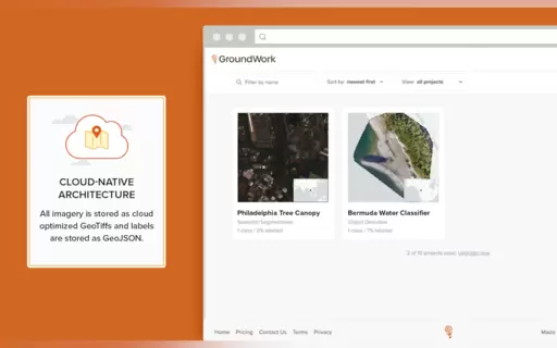
GroundWork is a free tool that simplifies labeling for drone, aerial, and satellite imagery. It’s perfect for semantic segmentation, object detection, and image classification. With a user-friendly interface, GroundWork enhances annotation workflows, making them accessible for everyone. Say goodbye to tedious tasks and enjoy a more efficient, accurate approach to geospatial data labeling. Join the GroundWork community and elevate your projects!
Top Features
- Free to use for all users
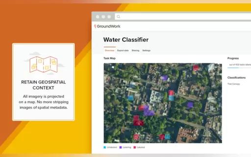
- Supports drone, aerial, and satellite imagery
- User-friendly interface for easy navigation
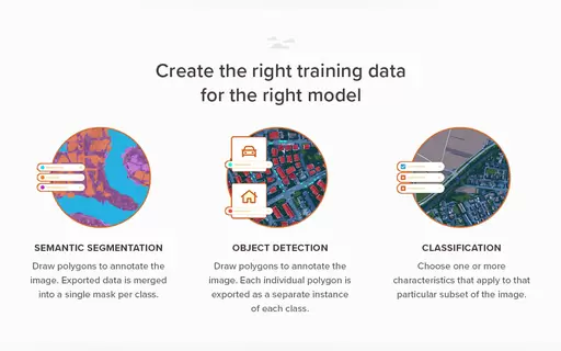
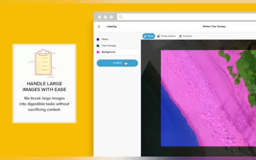
- Ideal for semantic segmentation and object detection
- Enhances efficiency in annotation workflows
- Accessible to users of all skill levels
- Provides accurate and reliable labeling